- https://www.nhc.noaa.gov/gis/ - National(US) Hurricane Center GIS data
- TrafficView.org
- https://www.fema.gov/about/openfema/api - FEMA(US)
- https://map.blitzortung.org - Live lightning data. Might only be maps.
- https://radar.weather.gov/ - Live US weather radar
- https://maryland.maps.arcgis.com/home/index.html - Maryland GIS data
- https://maryland.maps.arcgis.com/home/index.html
- Air quality data
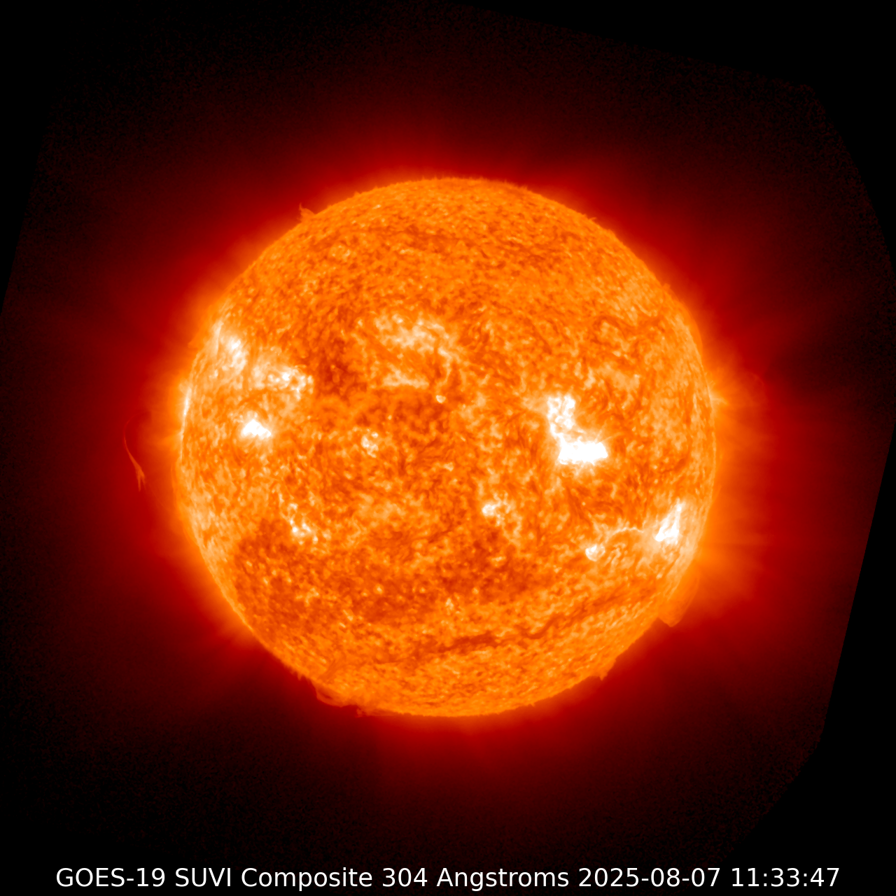
- https://services.swpc.noaa.gov/images/ - Space weather images and "animations"
- https://cdn.star.nesdis.noaa.gov/GOES19/ - GOES19 earth observation live images
- https://earth.nullschool.net/#current - All sorts of weather/air quality/fire data visualized on an interactive map. Probably a weeks worth of picking that apart for the individual sources.